|
|
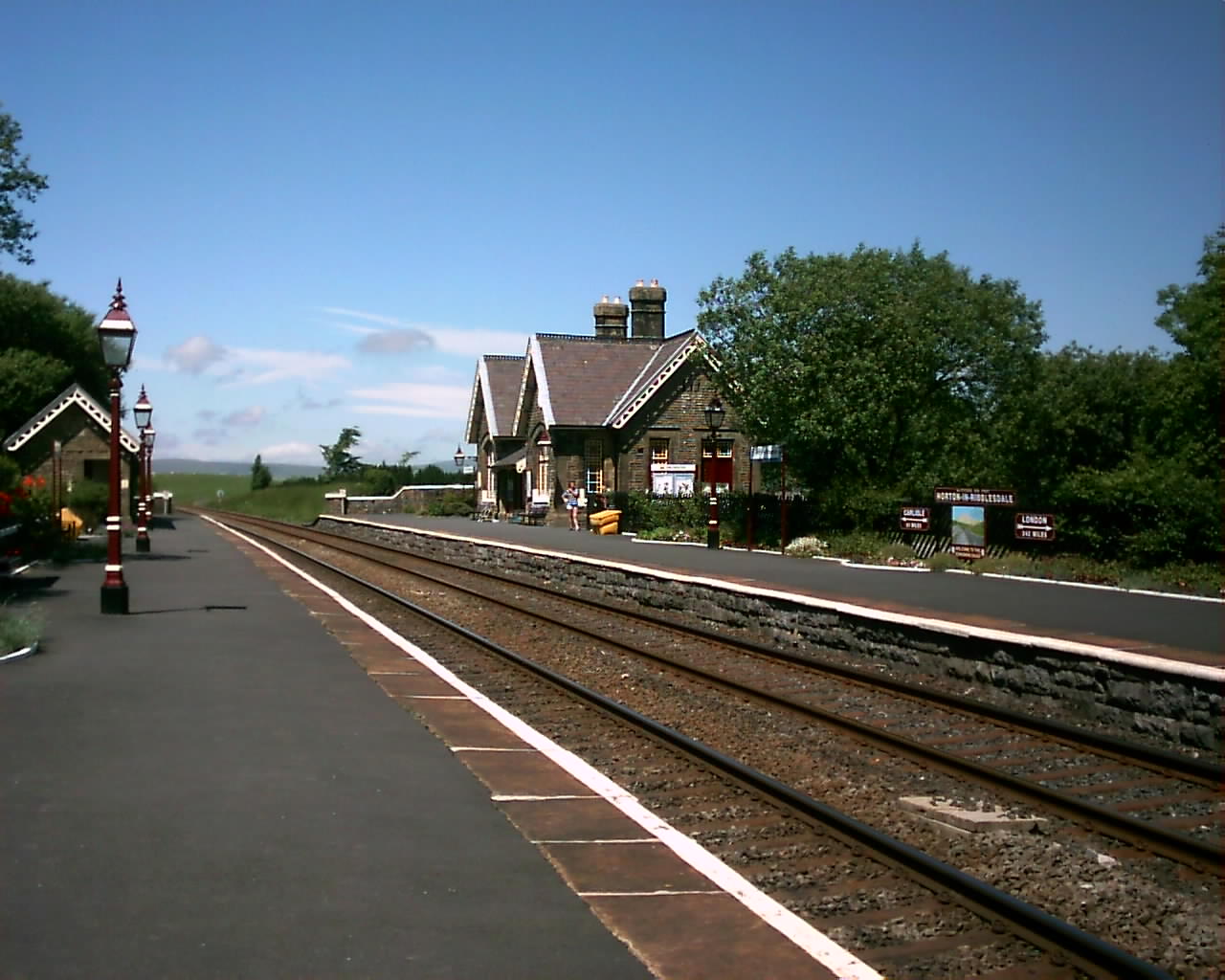
Horton In Ribblesdale. This is at the train station, on the Northbound side of the Platform and taken during Summer 2005. |
|
|
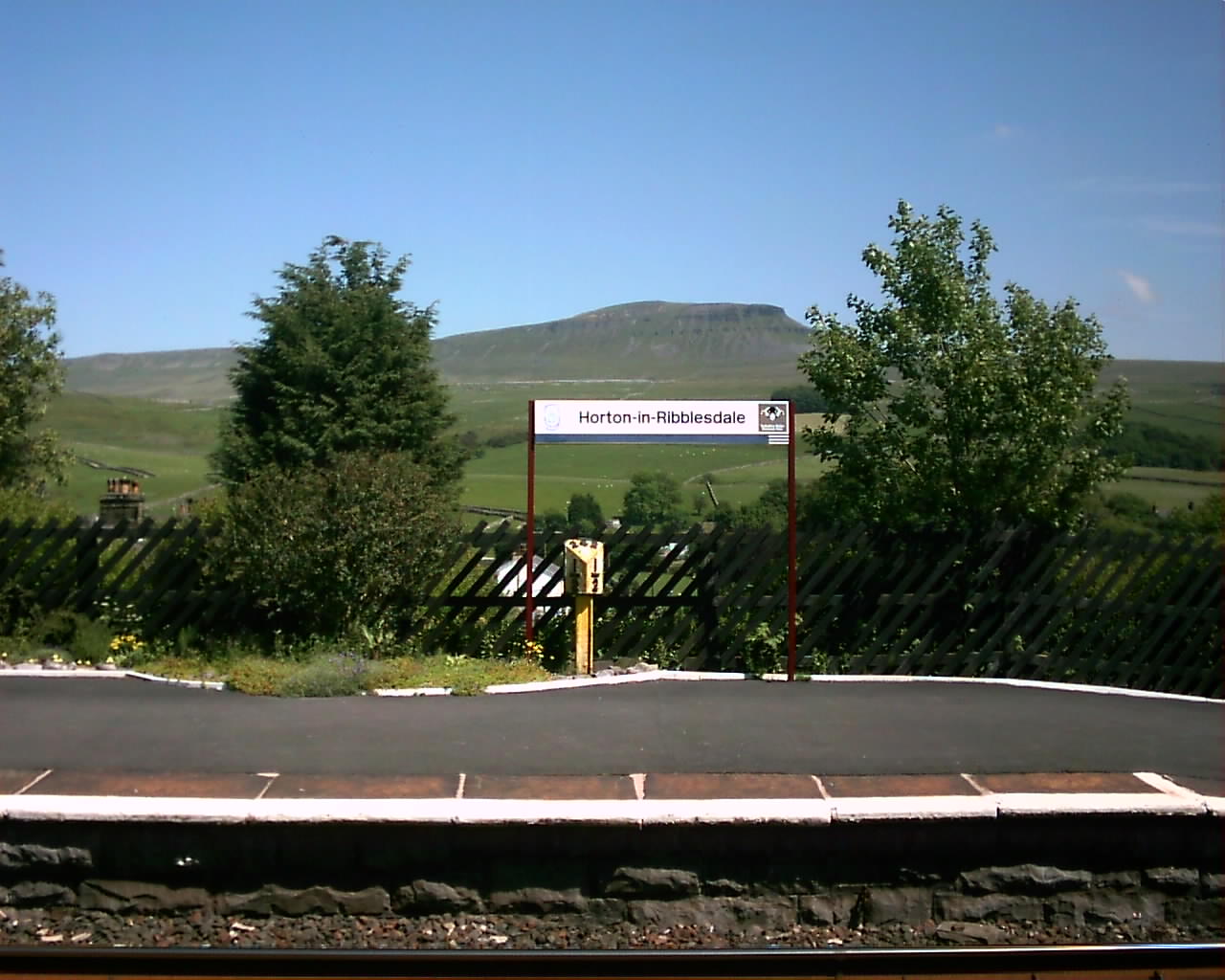
Horton In Ribblesdale. This is at the railway station, looking in the East direction towards Pen-y-Ghent. |
|
|
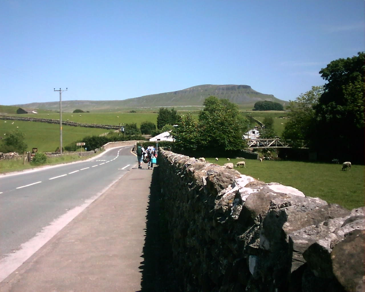
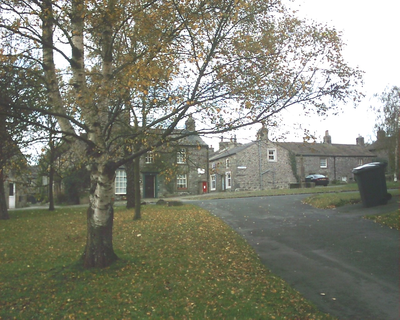
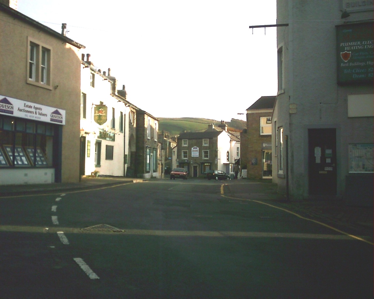
Horton In Ribblesdale. This Scene is looking down into the main village centre, as you approach from the direction of the Railway Station. |
|
|
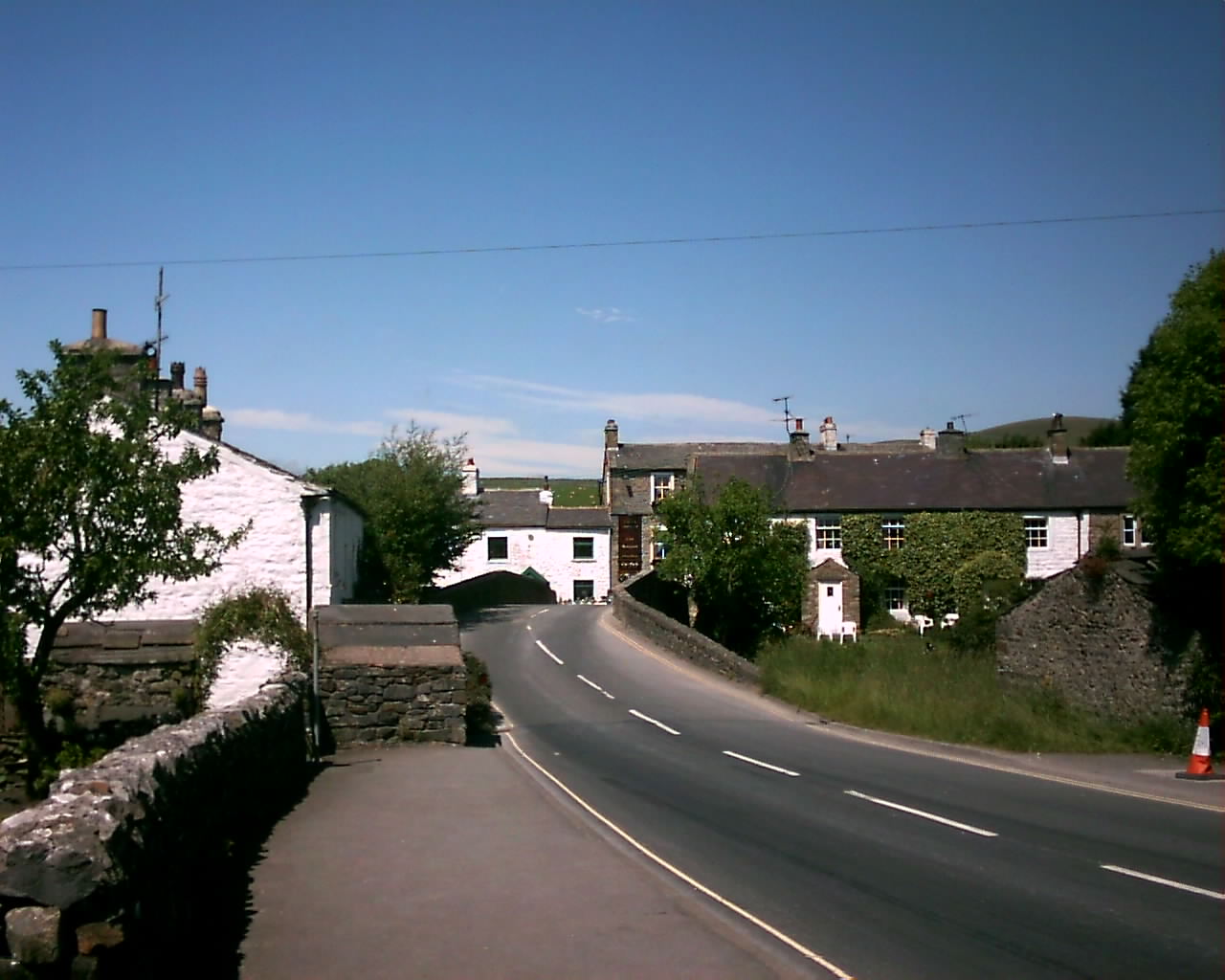
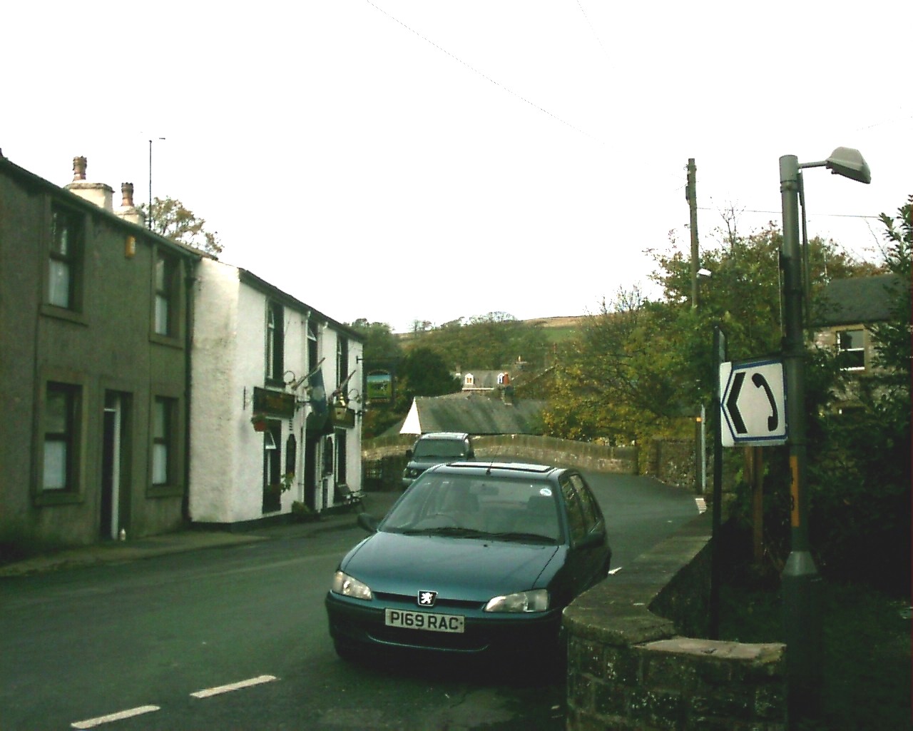
Horton In Ribblesdale. This is in the village centre, looking over the pack horse bridge towards The Crown Inn, Highly recommended Pub. |
|
|
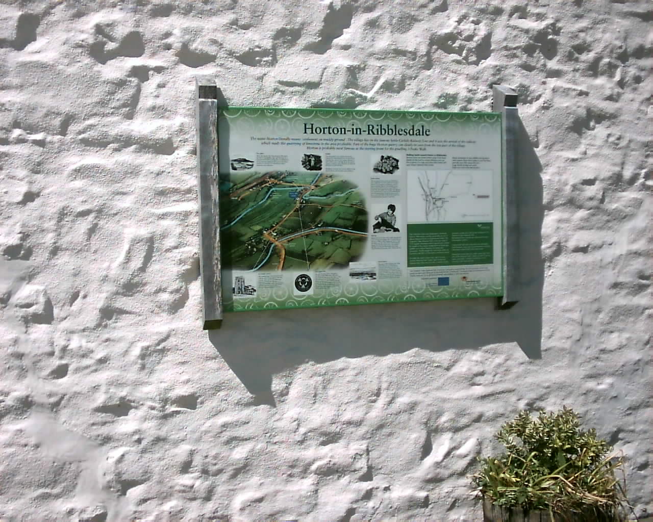
Horton In Ribblesdale. This is the information board, located on the wall of the famous village cafe, where you clock in, for the Three Peaks Walk. |
|
|
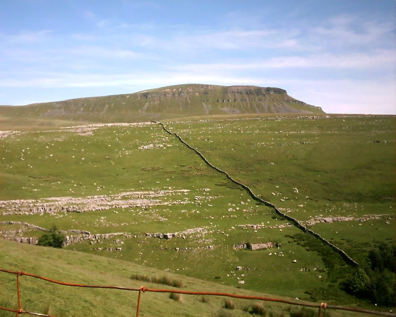
Pen-y-ghent. Taken on The Pennine Way, on my approach up to this Sumit, from Horton In Ribblesdale |
|
|
Pen-y-ghent. Taken as I was approaching the top of this Fell, during the Summer of 2005 and is one of my best pictures of the Dales Limestone scenery. |
|
|
Pen-y-ghent. This is at the top of this Sumit, looking North across towards Horton Moor. |
|
|
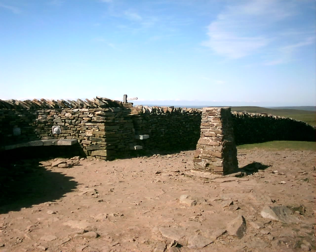
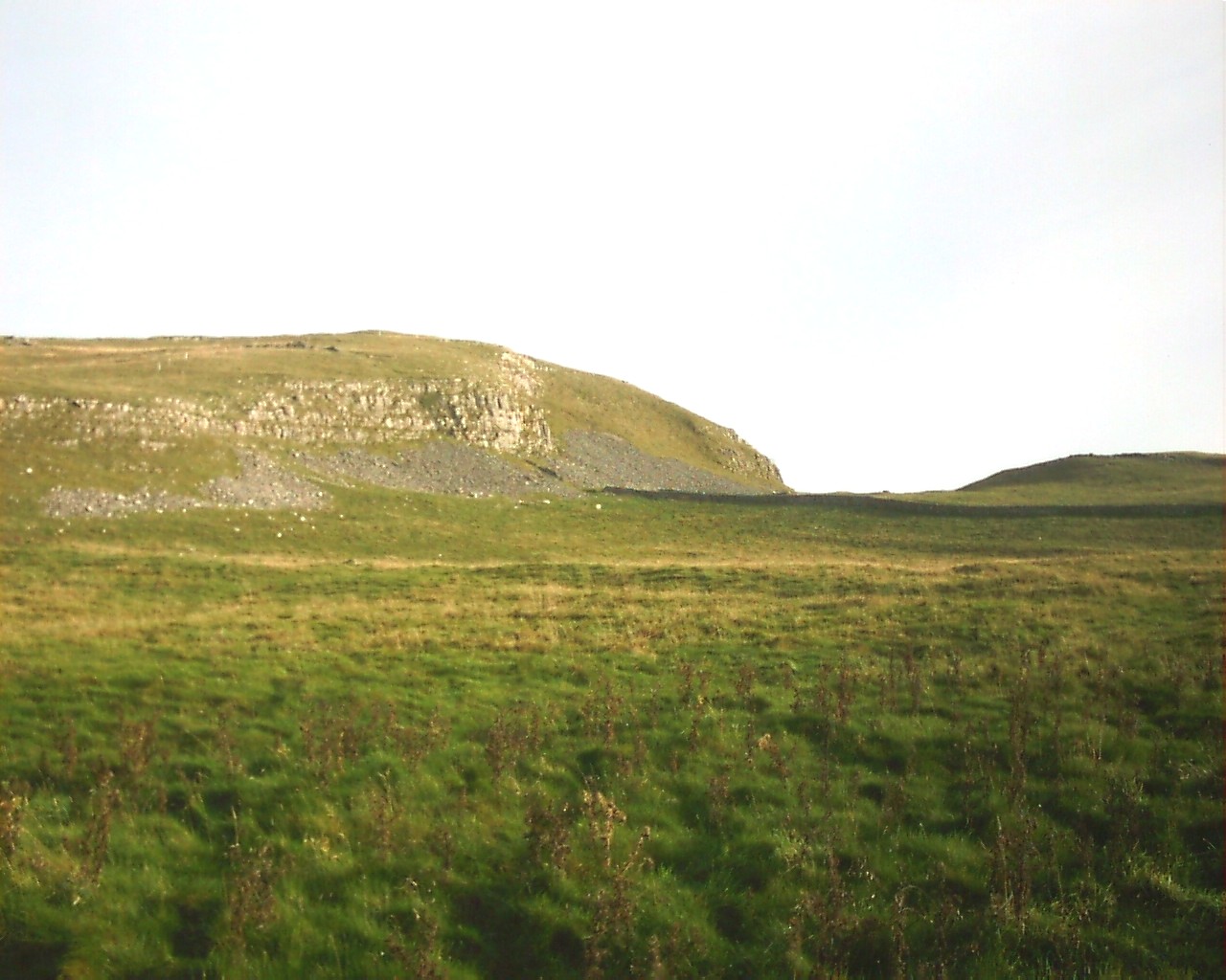
Pen-y-ghent. This is at the Southern end of this Sumit, near Churn Milk Hole. This is a ideal resting and gathering spot, after a long climb. |
|
|
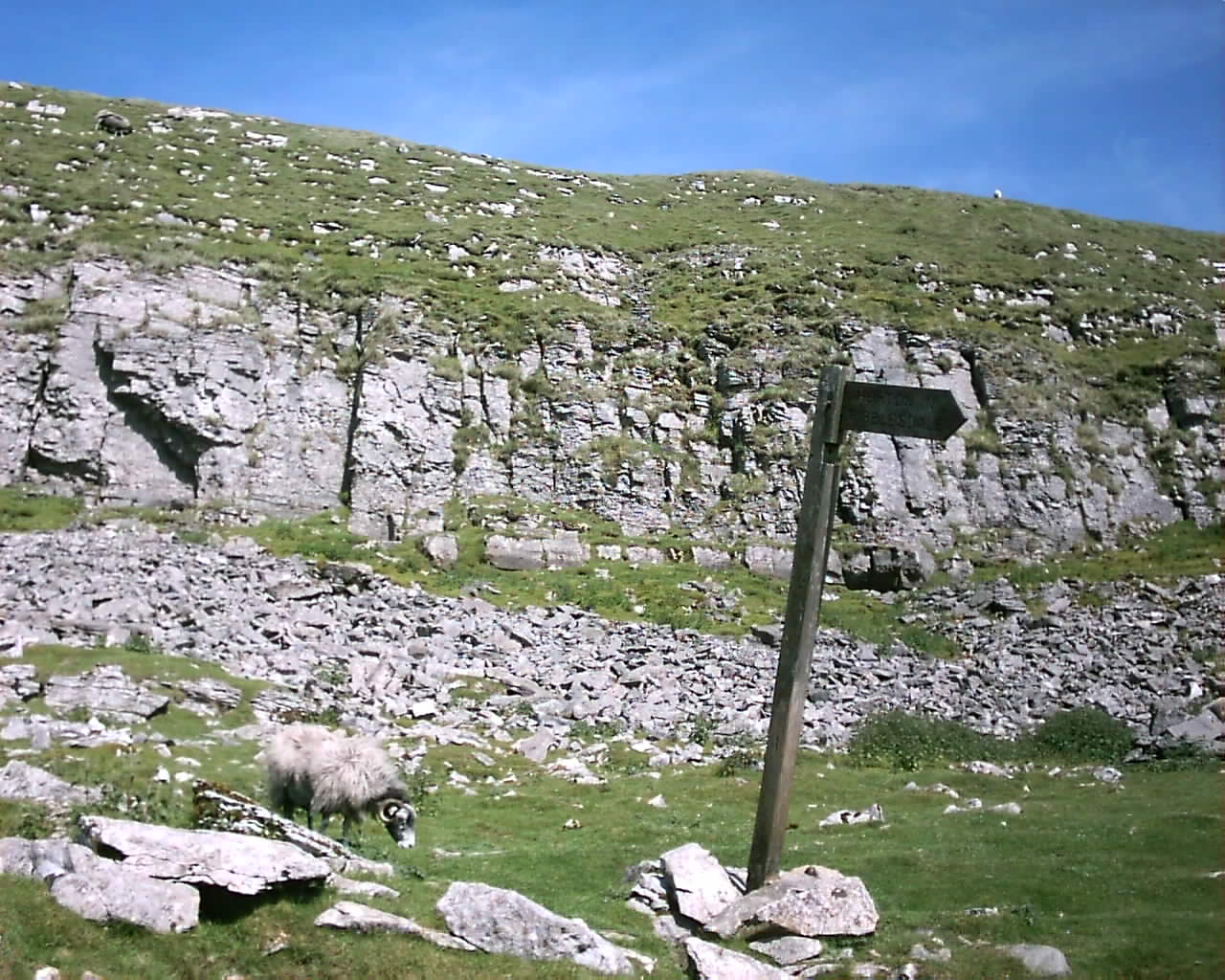
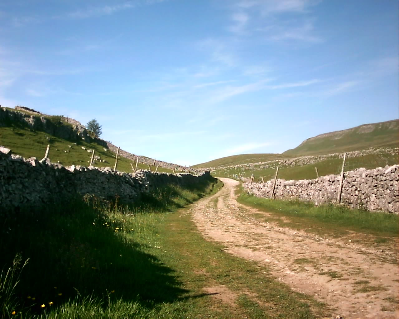
The Pennine Way. This section is near Horton Scar and was taken on my walk up to the Sumit of Pen-y-ghent, during Summer 2005. |
|
|
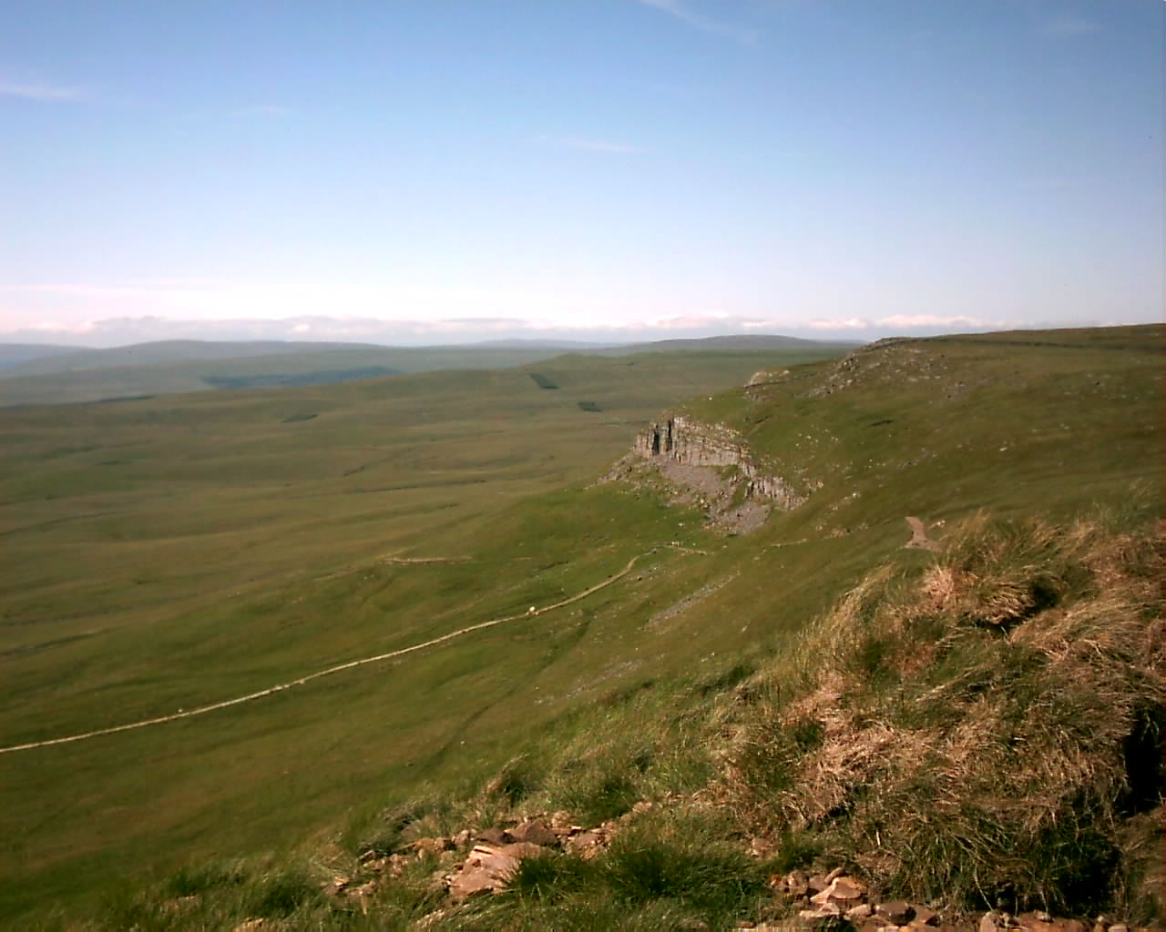
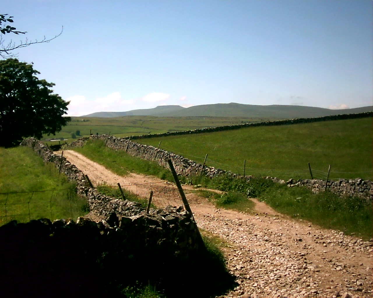
The Pennine Way. Taken on my approach back to Horton In Ribblesdale and this is looking in the West direction towards Ingleborough Common. |
|
|
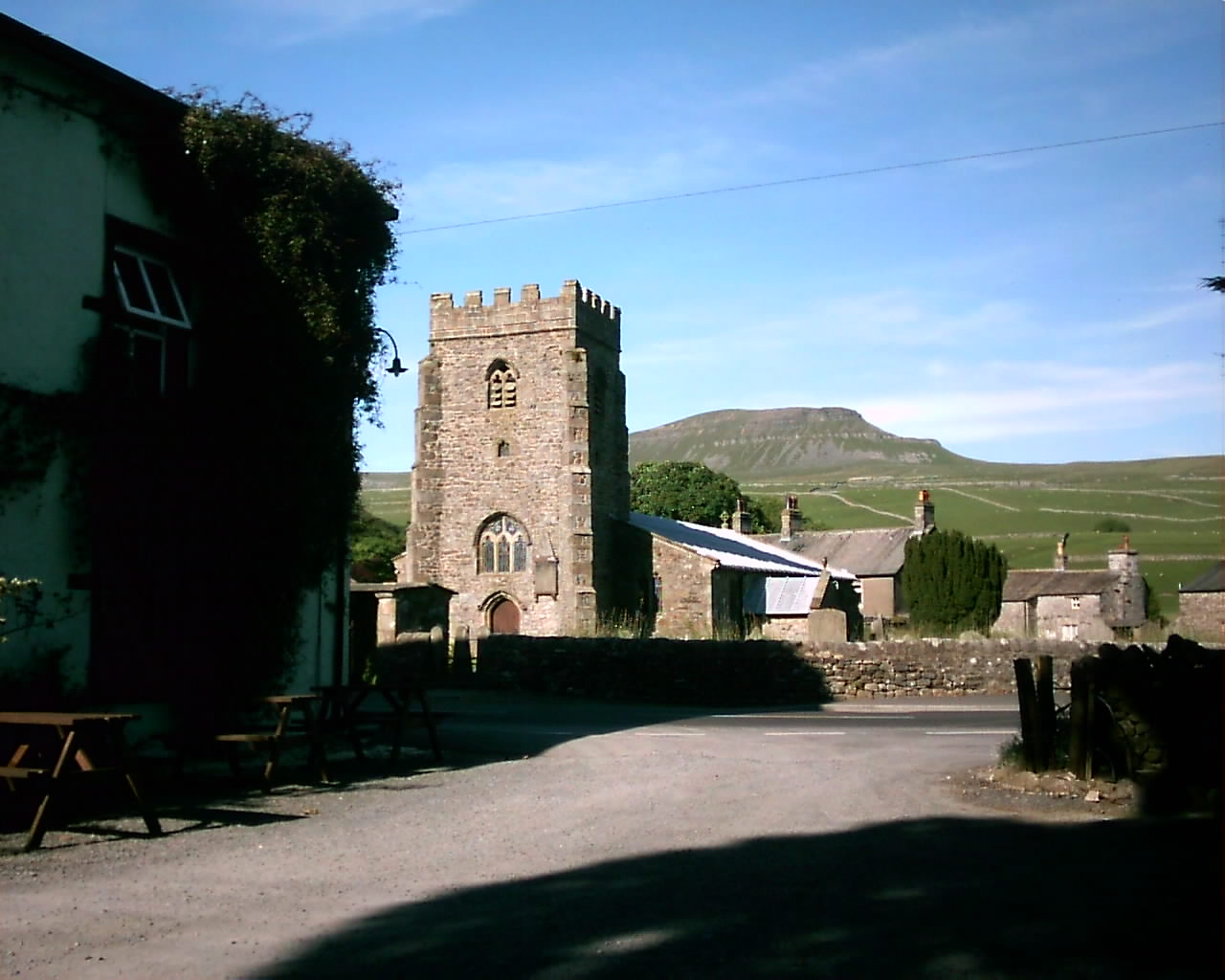
Horton In Ribblesdale. This is at the Southern side of the village, looking from the car park of The Golden Lion Inn towards Pen-y-Gent. |
|
|
Stainforth. Pleasent little Yorkshire Dales village, situated in the Ribble Valley, about 2 miles North of Settle and also has a Youth Hostal. |

|
|
Like Malham and Wharfedale, This is ture Limestone Country and this scene is looking North of The Ribble Valley towards Langcliffe and Stainforth. |
|
|
Langcliffe. Piecefull village, Situated about 1 mile North of Settle. This is in the Village Centre, looking West towards its greystone Cottages. |
|
|
Warrendale Knotts. Taken on a Footpath walk, between Langcliffe and Settle during the Autumn of 2005. |
|
|
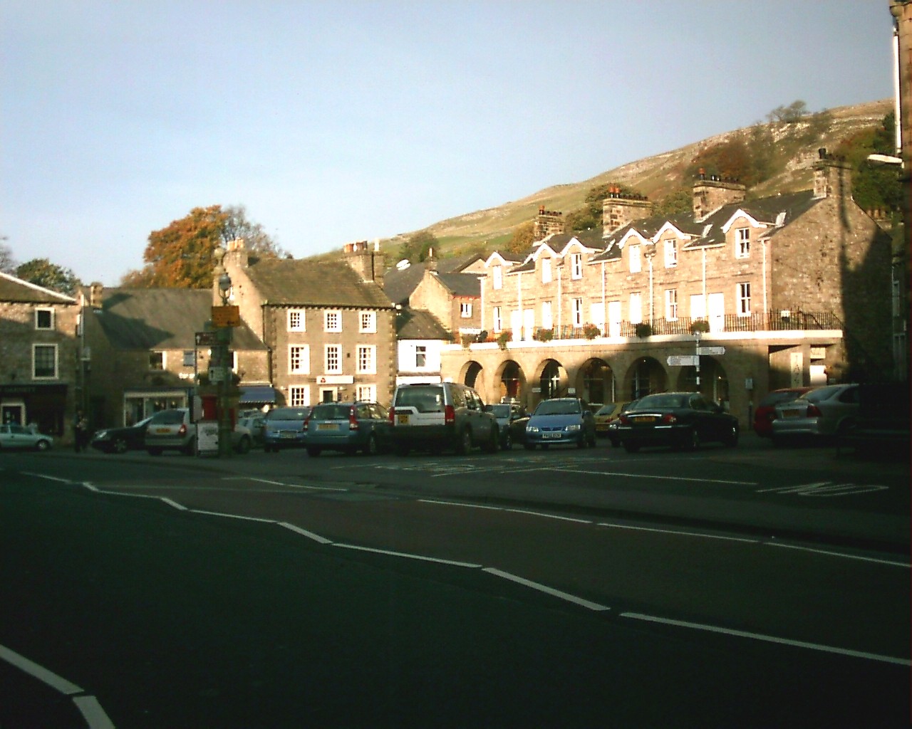
Settle. Pleasent Market Town and main tourist centre, for exploring the Western Dales. This scene is looking into the Market Place. |
|
|
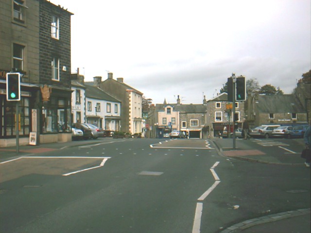
Settle. This is looking North into the main centre and as you can see, the traffic problem is a thing of the past, since the A65 bypass was built. |
|
|
Settle. This is looking down High Street, at the Southern end of the town and was taken during Autumn 2005. |
|
|
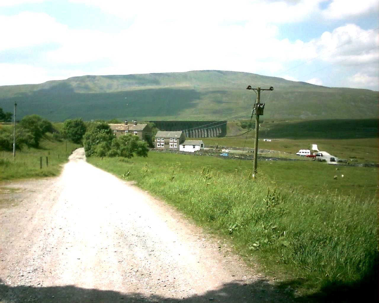
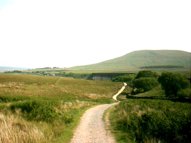
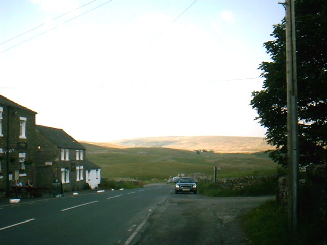
Ribblehead. This is looking North, Over towards The Station Inn Public House with a left angled glimpse of the viaduct, overlooked by Whernside. |
|
|
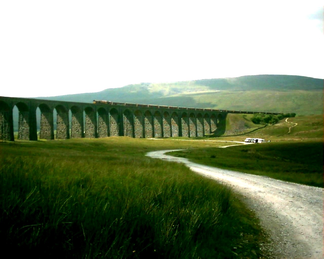
Ribblehead Viaduct. As you can see, This is very exposed site and as a result this Viaduct gets the worst treatment of severe weather during Winter. |
|
|
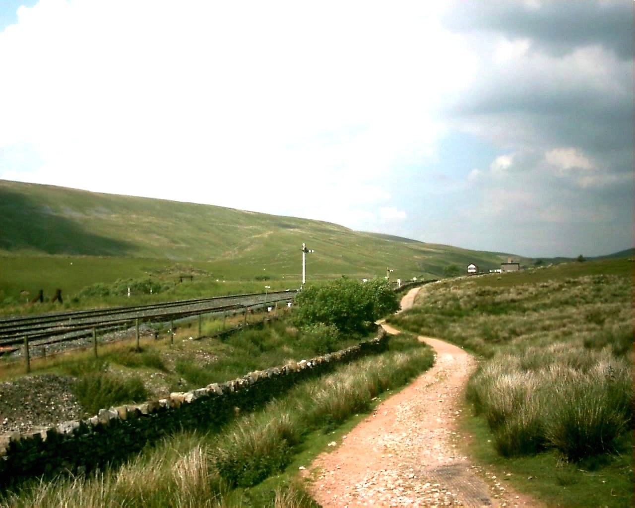
Bleamoor. This is about a mile North of Ribblehead looking towards Bleamoor Signal Box, On the lines siding track, Known as The Craven Way. |
|
|
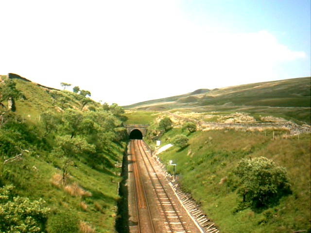
Bleamoor Tunnel. This is looking North towards the entrance, and there are still site remains around hear that give evidence of early constuction work |
|
|
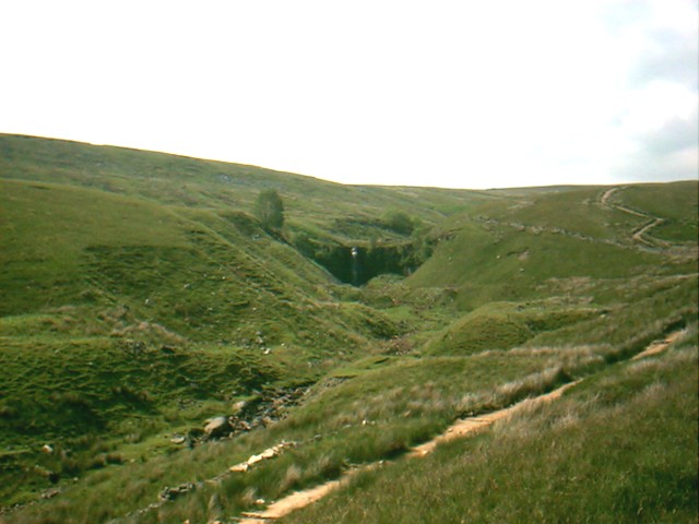
Bleamoor. This is on The Craven Way, Looking North towards Force Gill Water Fall, At the foot of Whernside. |
|
|
Ribblehead Viaduct. This is looking South, With a right angled view of this structure. |
|
|
Ribblehead. This is looking down the road, Across from The Station Inn, Towards the Hamlet of Ribble Head. |
|
|
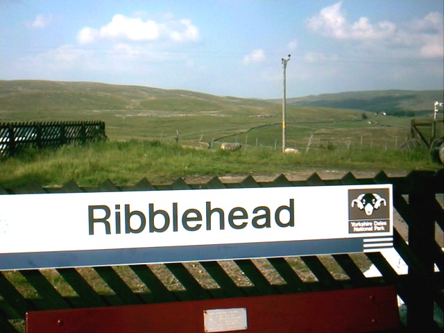
Ribble Head Station. As you can see by the sign, It retains its Yorkshire Dales National Park, Logo. |