Pictures From My Cycle Trail Of The Nidderdale Greenway


Welcome to this part of my site featuring pictures and articles relating to the new Harrogate to Nidderdale cycle route, Please read further. After 15 years of hope for this route and the protestations from land owners the dream has finally happened. Everyone, Even myself was giving up hope and this webpage was nearly on the verge of being scraped. This particular route was until the late Winter of 1967 The main Northern railway route to the North East Of England, Scotland with regular trains to the City Of Ripon and Northallerton. There was also a branch line which is now part of this newly open cycleway which took passengers to the villages and towns of Nidderdale ending at How Stean Gorge which is a lovely Nidderdale beauty spot and Tourist attraction. This new route is also part of National Cycle Network Route 67 which is a cross country route from Derbyshire and The North Midlands. Picture 1 is the start of the route from Harrogate's Asda Supermarket car park known as The Dragon Cycleway and pictures 2 to 4 is the last urban suburb of Harrogate before you approach past the Woodfield and Bilton estate. The scene of picture 4 looks North westerly over the Woodfield and Bilton estate with distant views of St Johns Church situated at the top end of Bilton Lane. Before the early 1950s to late 60s the Woodfield estate was all fields and woods which gradually disappeared due to the need of extensive housing development. The pictures of 1 to 5 also run in parallel to the left of the Harrogate to York Railway branch line which still serves regular trains. Before the closure of the Harrogate to Northallerton line, Harrogate was one the main line railway centres for the North Of England and also served regular trains to the West Ridding towns of Wetherby and Tadcaster. Picture 6 is where the line used to divide and is where trains branch off onto the Ripon line which is now the start of The Nidderdale Greenway Cycle and walking route to The Yorkshire Dales. Picture 6 is also just near the scene of what we 60s and 70s children used to call the Hairy Mountains. It is a field that overlooks the Bilton and Granby estates of Harrogate consisting of rolling bankings and tracks where you could spend happy hours with what was called the Chopper or BMX bike in those days until mountain bikes became a 1990s popularity. Sadly the field is very overgrown which now makes it inaccessible. Pictures 7 and 8 is the Bottom end of the Woodfield estate and as you can see in picture 7 a new access on to the route which I call Woodfield Ramp makes the Nidderdale Greenway conveniently accessible from my nearby home. The scene of picture 9 is the approach on to Bilton Lane which was in railway days called Bilton Junction. If you decide to turn right at this point you come into what is still called Old Bilton with its 17th century cottages and is also the Beryl Burton Cycle route to Knaresborough. More on this route is featured on my following webpage Pictures From My Cycle Tour Of The Eastern Dales Featuring Highlights Of The Beryl Burton Cycle Route . Picture 10 is where you now approach the low lying Nidderdale countryside and this point is between Bilton Lane and Nidd Viaduct which I will tell you a bit more regarding its railway history. Little known to some, Bilton was once a small coal mining area and the scene of picture 6 is only 100 yards north of where The Barber Line Railway terminated to deliver coal to New Park Gas works. The Railway has long since gone but its embankment remains still partly exist on Knox Lane. Picture 12 is looking in the westerly direction from this impressive Grade 11 viaduct and is locally known as the Three Stretch which is a free angling area of the Nidd Gorge and on a clear day the distant hillside views are outstanding. Pictures 13 to 15 are scenes of the North bound stretch of this route from Nidd Viaduct which is where you start to see distant views over the surrounding countryside with sights of Brimham Rocks and Harrogate's high landmarks as you head back in the southerly direction towards Bilton. Picture 16 is the start of the newly open Nidderdale section which has never up until now had any public right of way and not far from where the Ripon and Nidderdale railway used to divide. Before I describe this newly open section to Ripley I will give you a bit more information on the section to Ripon because some may wonder if there is a possibility of extending the Cycle route to Ripon. Before about 1982 you could walk the old Railway as far as Nidd in which its old station used to be situated on the B6164 Ripley to Knaresborough road which I will state the following note. I am afraid to say that the North Eastern Railway company as it was at that time let Farmers and landowners purchase the land and as a result Homes and farm buildings have since been built on it. To add to the story most of the bridges have since been dismantled but on the bright side of things, Bridges can be reinstated and the route can be diverted around buildings so there could still be a possibility of a future route but for the time being the chances are very slim. Pictures in the order of 17 to 24 is the entire stretch of this newly open route to the Nidderdale village of Historic Ripley which I will briefly describe. Picture 18 is the most scenic and hilliest section of the entire stretch as you go through Rock Hall Wood and is where the Nidd Gorge lowers before you approach the old Killinghall Bridge. Picture 20 is the old A61 road bridge which until 1970 carried all the North bound traffic which I will tell you a bit more on the story. As we all now complain about main A Roads being very busy, The old Killinghall bridge became very weak and as far as the story goes a Postman found a hole in the road which led to lengthy delays in the Winter of 1969/70 until the new A61 Bridge was built. Picture 22 is the newly installed A61 Pelican crossing situated between Ripley and Killinghall and makes this route even more safer to use around this stretch but I must stress as this road is very busy young children should always be supervised by an adult or parents. Pictures 23 is the last stretch of the cycle route into Ripley Village which is now the cyclist and walkers gateway to Nidderdale. Pictures 25 and 26 are scenes of the beautiful village of Ripley and its Castle dates from the 15th Century and is owned and has been home of The Ingilby Family for the past 700 years. Sir Thomas Ingilby is up to now, The present owner. Ripley village provides thirsty cyclists and walkers plenty of refreshment before venturing further afield into Nidderdale as the village has 1 Public House, A convenience store and the visitor cafe situated in Ripley Castle grounds. Picture 27 is the scene of the last off road stretch of the Nidderdale Greenway and is a Bridle Path situated between Ripley and Clint Bank where the attractive villages of Hampthwaite and Birstwith are only about 1 mile away. This route also links with National Cycle Route 67 Northbound to Fountains Abbey and the small Cathedral City Of Ripon. Pictures in the order of 28 to 34 is the onroad Nidderdale cycle route which is the Sustrans proposed route National Cycle Route 636 which I will give you more details. Picture 28 is looking down from Clint Bank into Lower Nidderdale with its gentle looking green hillside with grand views over to Menwith Hill MOD defence camp and you soon sense that feeling you are now getting into the lower Yorkshire Dales. Picture 29 is the approach from Clint Village into Hampthwaite and as you see the remains of the railway bridge remind you of existence of The Nidderdale Railway which closed during the 1950s. Picture 30 is a village scene of the lovely village of Hampthwaite and has one of the tidiest village greens of the Dales. Hampthwaite is certainly worth exploring before venturing further up the Dale as it is one of Nidderdale's most scenic and there is one small convenience store and Public House but opening times may vary during the Week. As you venture further up the Dale ether by Cycle or on foot you come to another of Nidderdale's lovely villages which is Birstwith as seen in pictures 31 and 32. Like Hampthwaite it still has a convenience store and local Pub and the large mill is also a food production plant run by Kerry Ingredients but the mill no longer turns. Birstwith is the last refreshment stop before venturing further up the Dale particularly if you intent heading in the direction of Brimham Rocks to extend your Journey to Pateley Bridge or further West into Wharfedale. From Birstwith you soon sense that the Dale gets more hillier as you are now getting into Higher Nidderdale and picture 33 is the Downhill approach from Brimham Rocks over Hartington moor with grand views over the entire Dale with views of Menwith Hill MOD Station towards the southwest and Harrogate's large landmarks such as Copthall Tower and the Conference Centre can be seen from the southeast direction. Picture 34 features one of Nidderdale's most visited tourist attractions known as Brimham Rocks which the Rocks themselves consist of Milestone Grit and date from the Ice Age. If you intend cycling further afield to Pateley Bridge or further up the Dale then the following link Pictures From My Cycle Tour Of The Eastern Dales Featuring Highlights Of The Beryl Burton Cycle Route has more information. I hope you all enjoy using this new cycle route from Harrogate's town centre and remember it is a venture into some of Yorkshires most scenic cycling country. Before I finish this section I will give you some brief safety tips and advice about this new route. If you have seen in my video Video Footage Of My Nidderdale Cycle Trail Part 5-Bilton To Ripley - YouTube the route from Harrogate to Ripley is all traffic free and is suitable for young children and novice cyclists who have never ridden a bike before but please read the following advice. As this new cycleway has many narrow sections and bends to negotiate ridding in single file is advisable and there may be times when you will have to ride slowly as many of the elderly with impaired eyesight or hearing may not immediately realise your presence. Also be aware of Dog walkers with straying dogs particularly with long chains which are the most real nuisance and using a polite warning of approach or consider getting a bell is advisable. The onroad sections use mainly quite roads but be aware that at peak traffic times during morning and evening rush hours these roads may be busier then usual particularly during Bank Holidays or the Peak summer season. Also there are some very hilly sections and also some short sections of the busy B6165 Ripley to Pateley Bridge road are involved so some good road cycling experience is required. I must stress that the onroad cycle routes are not suitable for young children under the ages of 12 and are best supervised by an older cycling group or Adult at all times. To give you a brief idea of the onroad section between Brimham Rocks to Pateley Bridge please refer to my following video Video Footage Of My Nidderdale Cycle Trail Part 1- Brimham Rocks To Bewerley - YouTube . Also this video was shot during a normal Monday workday morning during April. Picture 35 is the Sustrans Logo situated at the northern entrance of Bilton Nidd Viaduct marking the official opening of The Nidderdale Greenway which took place on Saturday 25th May 2013. Myself and other visitors of this site would like to thank The Sustrans for all there hard work in making this reality really come true after 15 years of campaigning. A new video of my footage on the Nidderdale Greenway extension is now available to view at the following link Improved Version Of My Summer Evening Hampsthwaite To Bilton Cycle Ride Via The Nidderdale Greenway - YouTube

Entrance of the Harrogate to Hampthwaite traffic free cycle route. This is new signposting of NCR 67 situated in Harrogate's Asda car park.

Formerly known as The Dragon Cycleway, This is at the southern end of Grove Park Avenue and this is the link route to Harrogate town centre.

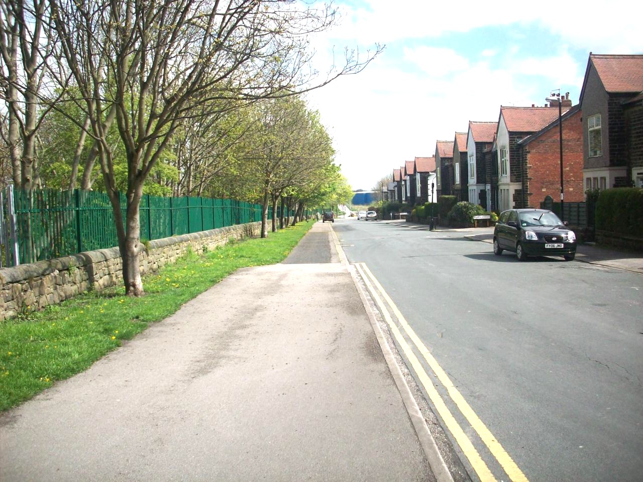
The Dragon Cycleway. This is looking in the northerly direction of Grove Park Avenue and is the last urban part of Harrogate of the entire route.

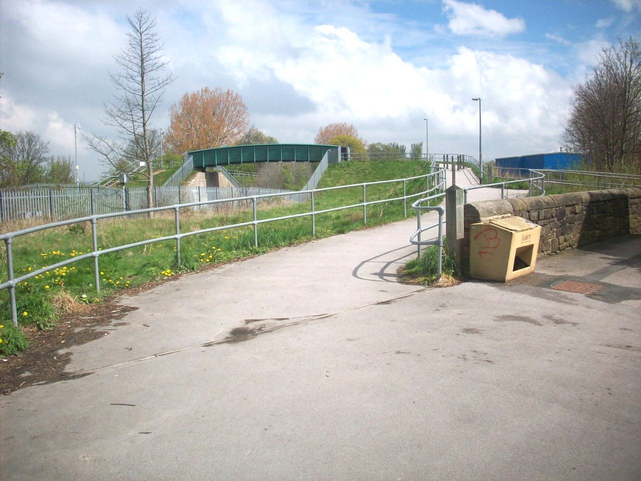
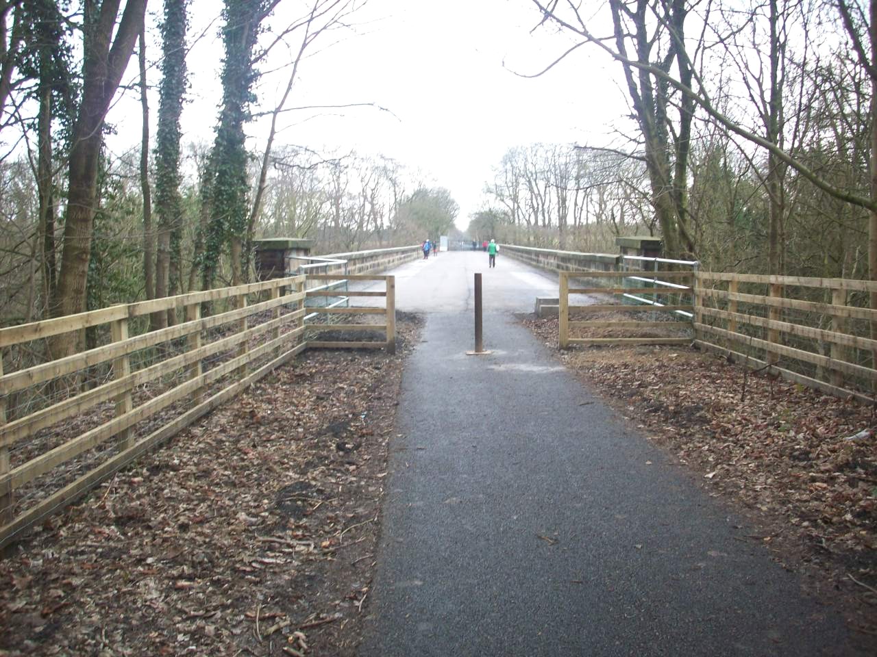
The newly constucted railway footbridge built in 2005 that now links Harrogate town centre to the Bilton estate.

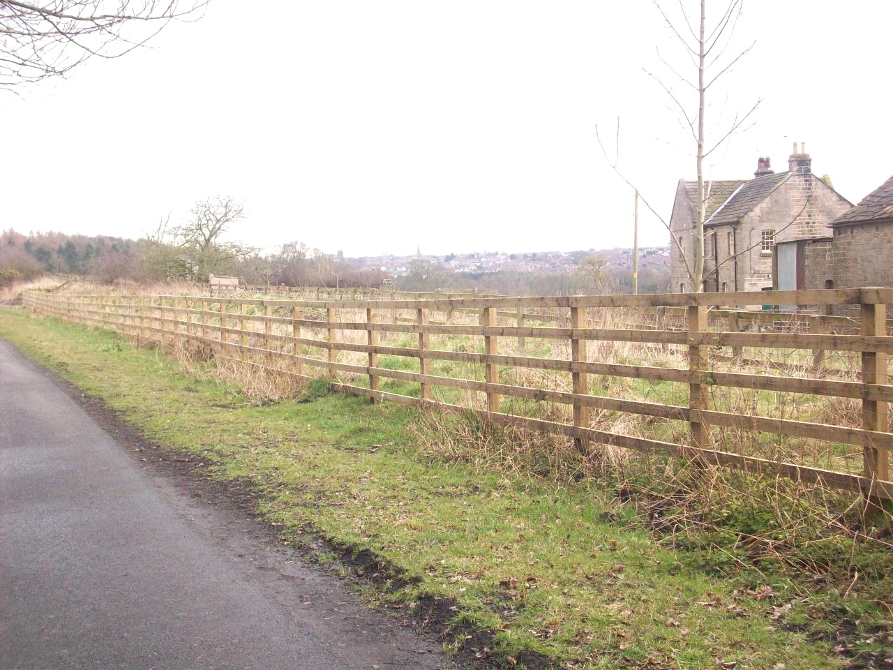
This is looking across towards Bilton from the southern end of the Woodfield estate, With a distant view of St John's Church towards the left.

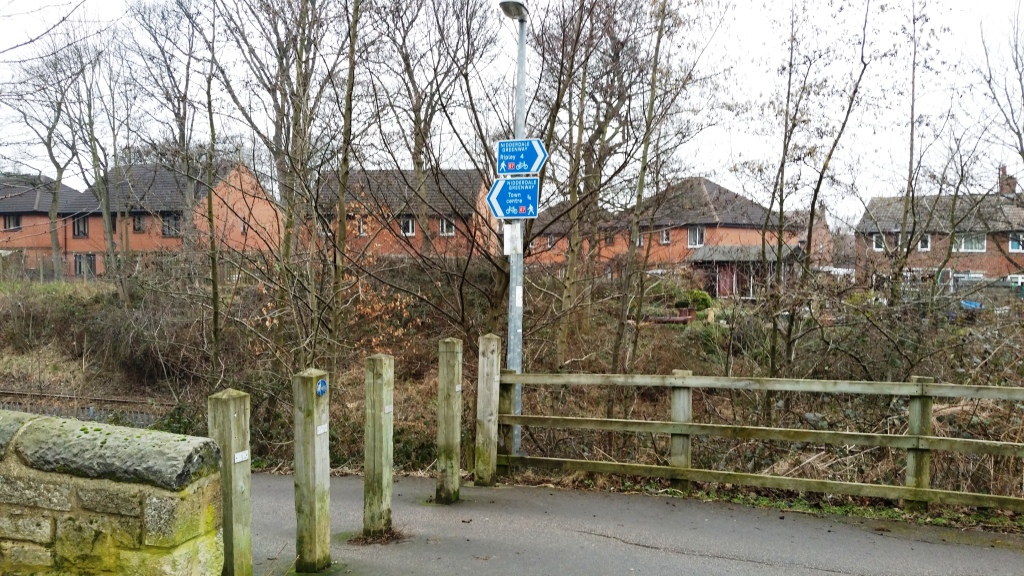
The start of The Nidderdale Greenway. This scene is only about 200 yards from the newly constructed bridge known locally as the Hairy Mountains.

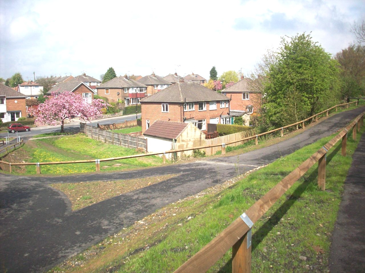
This scene is the newly constructed link route from the Woodfield Road part of Bilton, Not far from my home location and we call it Woodfield Ramp.

The new signposting situated at the top of Woodfield Ramp as you approach the Cycleway from Woodfield Road situated in the Bilton area of Harrogate.

This scene is looking over Bilton Dene Fields from the Woodfield estate. This is the old Harrogate to Ripon Railway line.

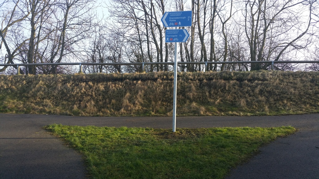
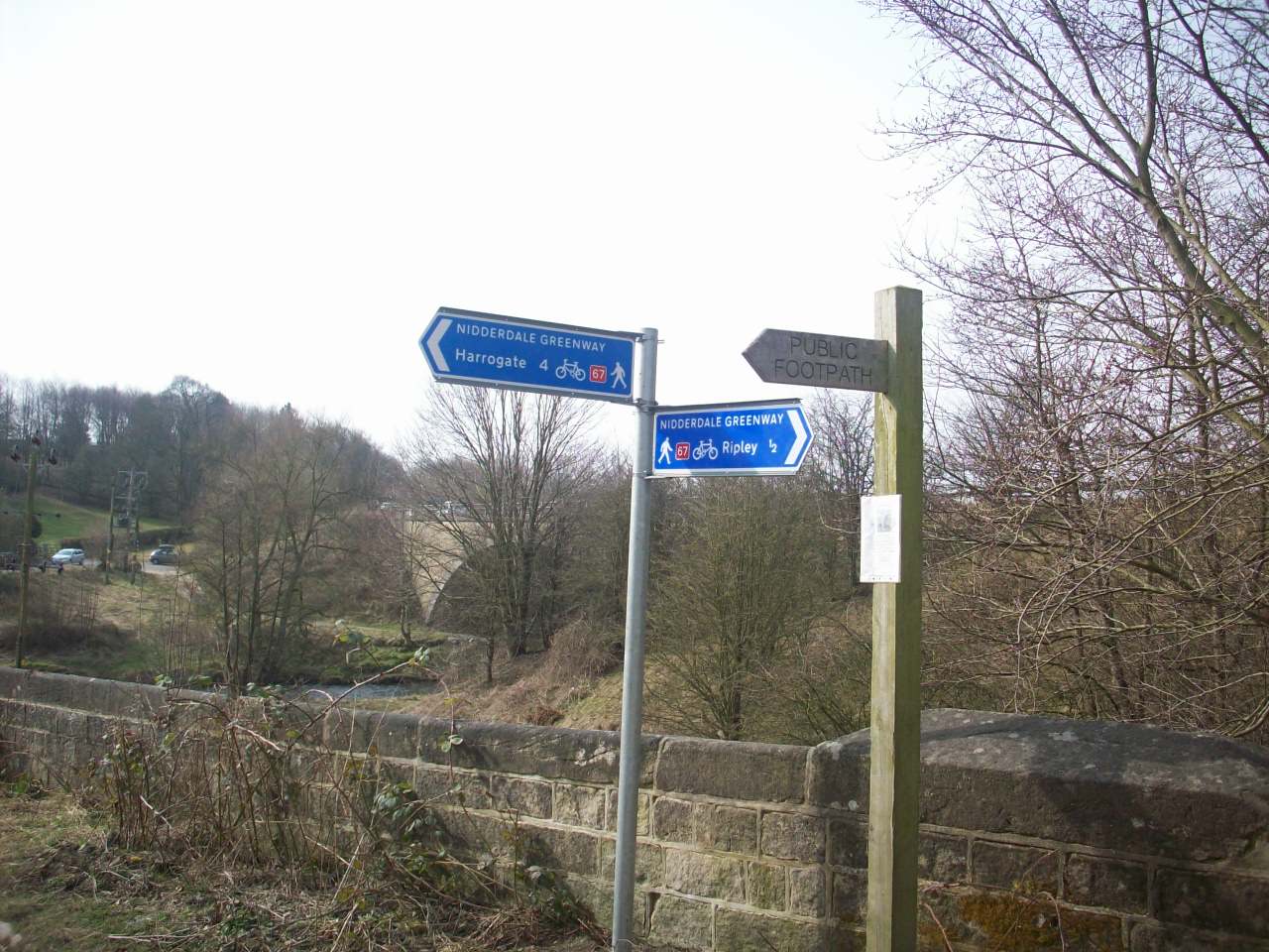
New signposting of Nidderdale Greenway on Bilton Lane as you approach it from the Beryl Burton Bilton To Knaresborough Cycleway.

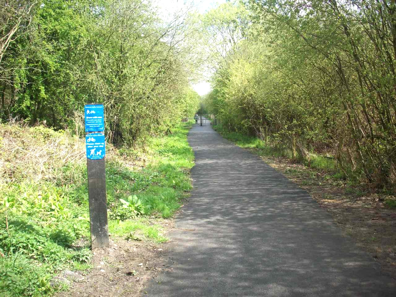
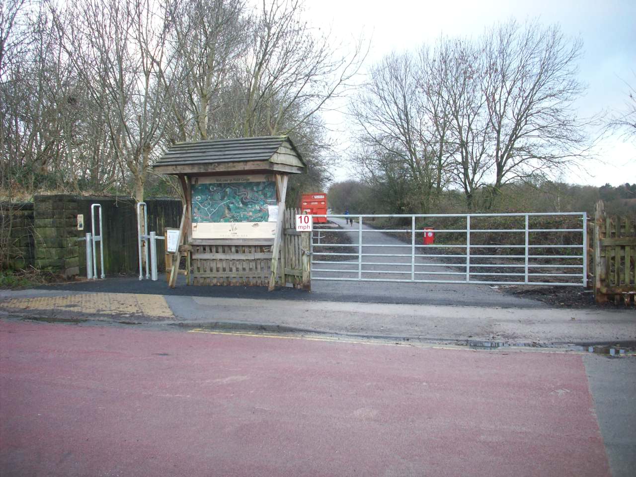
Newly open section of Nidderdale Greenway. This is the new aligned entrance at Bilton Lane. The opening at the left is for cyclists and walkers.

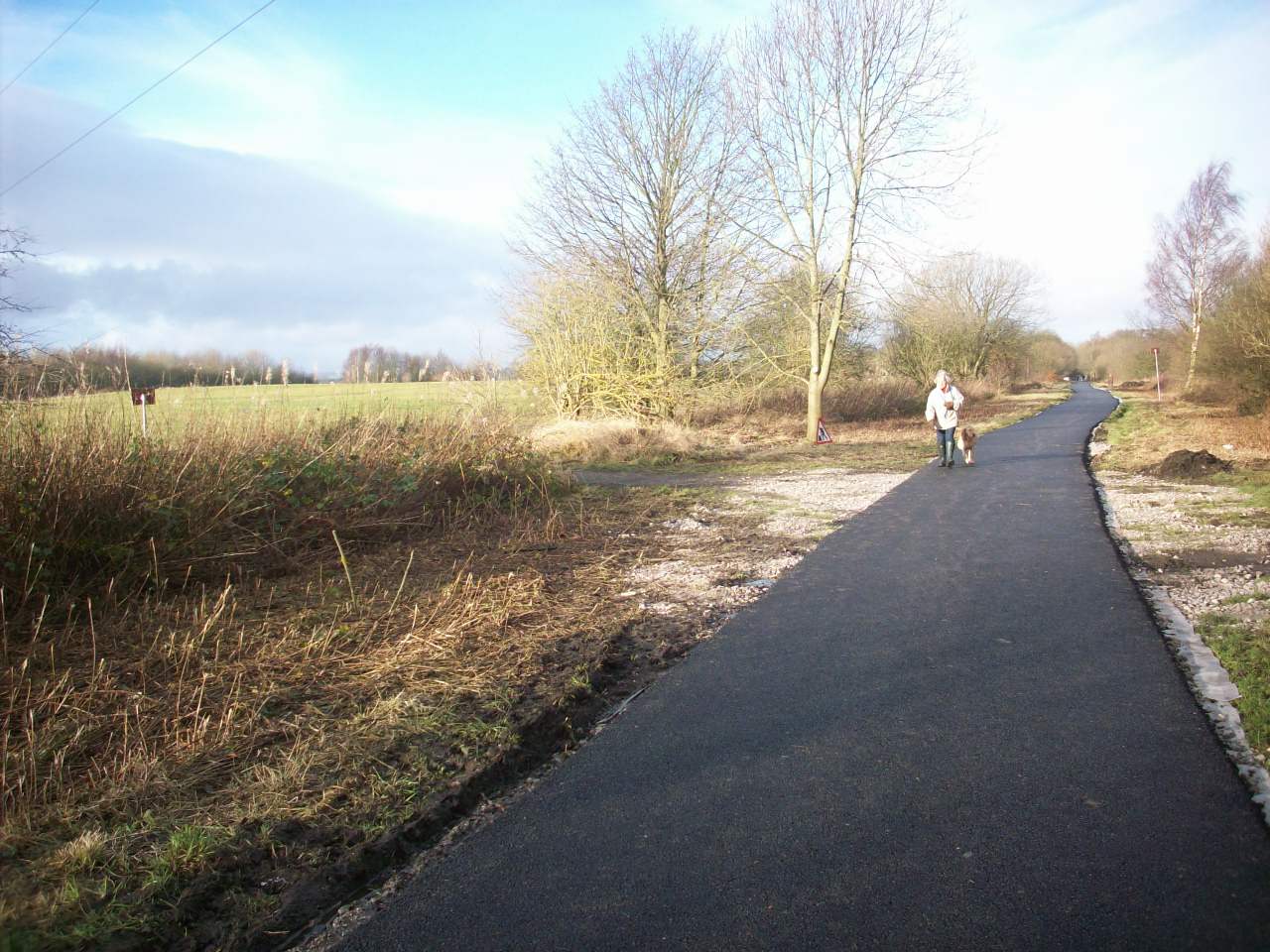
New open stretch of The Nidderdale Geenway. This section is between Bilton Lane To Nidd Viaduct and is now fully tarmaced

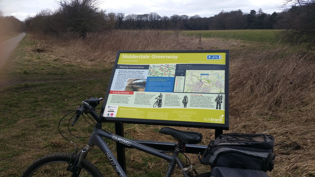
Information sign about the cycle route as you approach it in the northerly direction towards nidd viaduct.

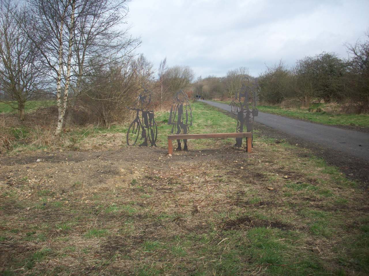
The new Portrait resting bench situated on the stretch between Bilton Lane to Nidd viaduct. Handy for tired walkers needing to refresh there energy.

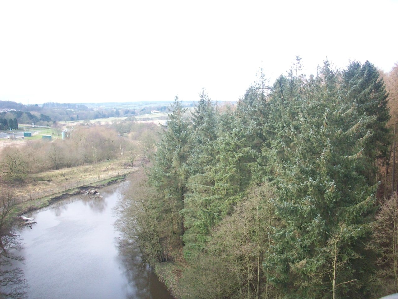
This scene is looking west over Nidd viaduct towards what is localy known as the three stretch fishing spot with distant hillside views.

The Southern enterence on to the Grade listed 2 Nidd viaduct. Used to be the main railway between London and Edinburgh.

This Scene is the Southern approach towards Bilton Nidd Viaduct with distant views of Bilton Church and St Luke's Church tower located on Kings Road.

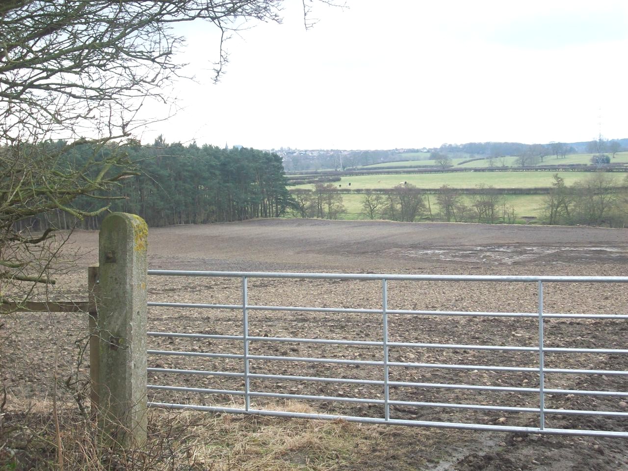
This scene is about 1 mile north of Nidd viaduct with distant views towards Brimham rooks and surounding countryside before passing Sig's Wood

This scene is looking east towards the old Ripon line not far from where the old Nidderdale railway divides onto the approach towards Bilton.

This Scene is between Coronation Wood and Rock hall Wood on the new section about 1.5 miles East of Killinghall.

The lovely peacefull scene through Rock Hall Wood as you approach Killinghall Bridge.

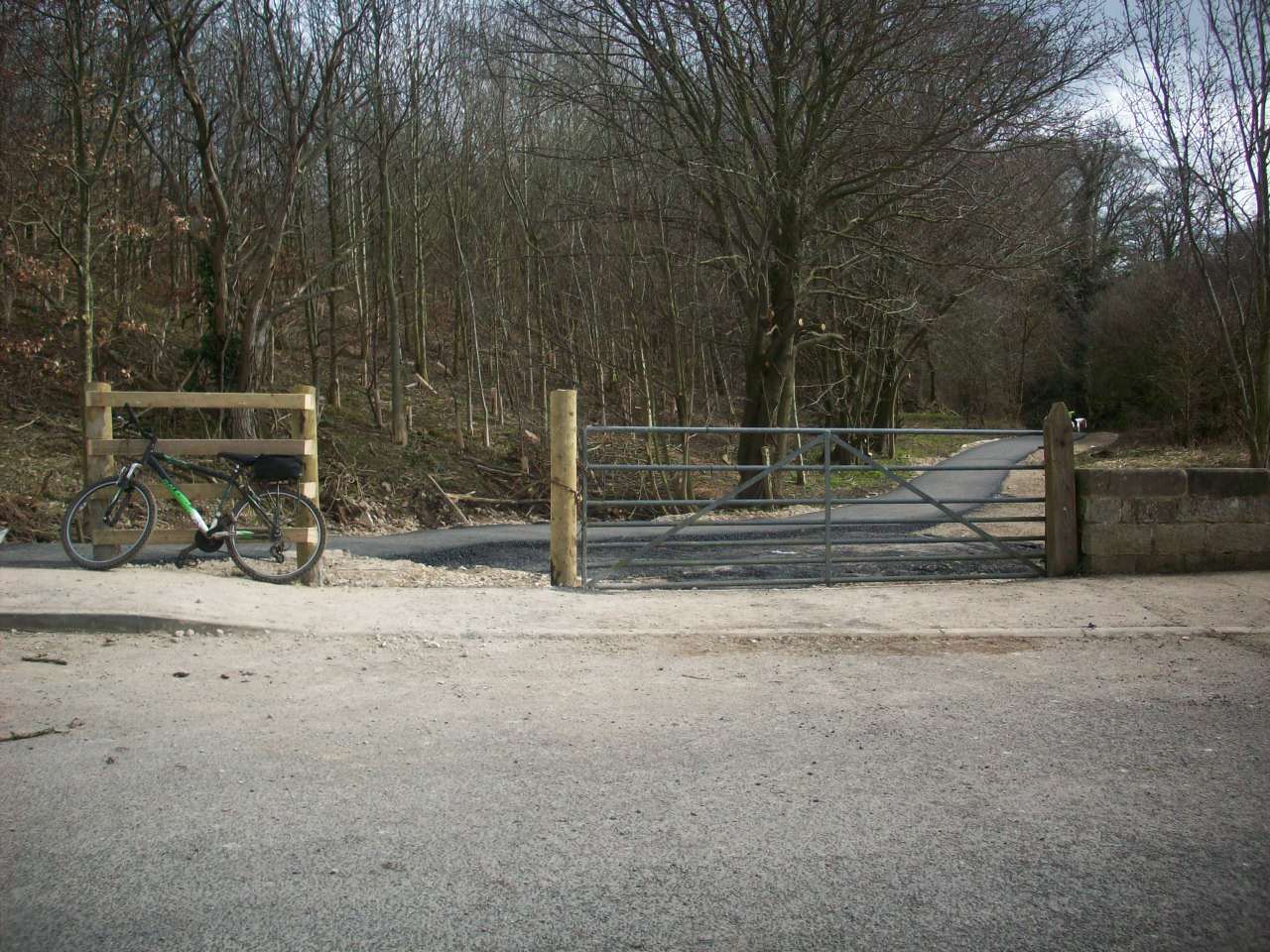
The new Nidderdale Greenway enterance at Killinghall. This section takes you southbound to Bilton, Knaresborough and Harrogate town centre.

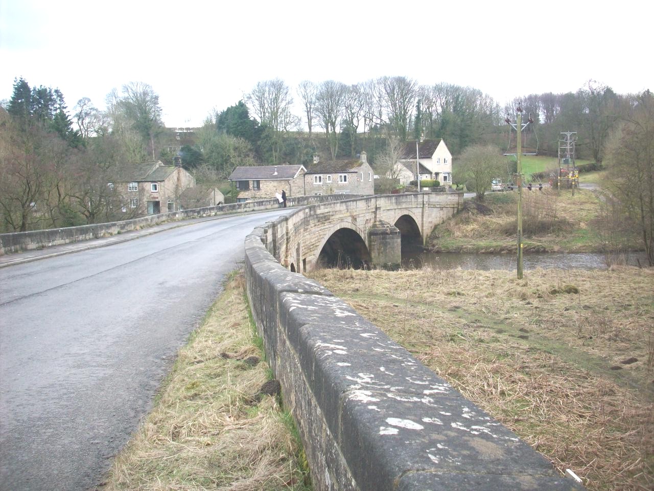
The old A61 road bridge at Killinghall. This bridge was bypassed in 1970 as its volume of traffic was taking the toll even in the late 1960s.

The new signpost of the cycle route at Killinghall.

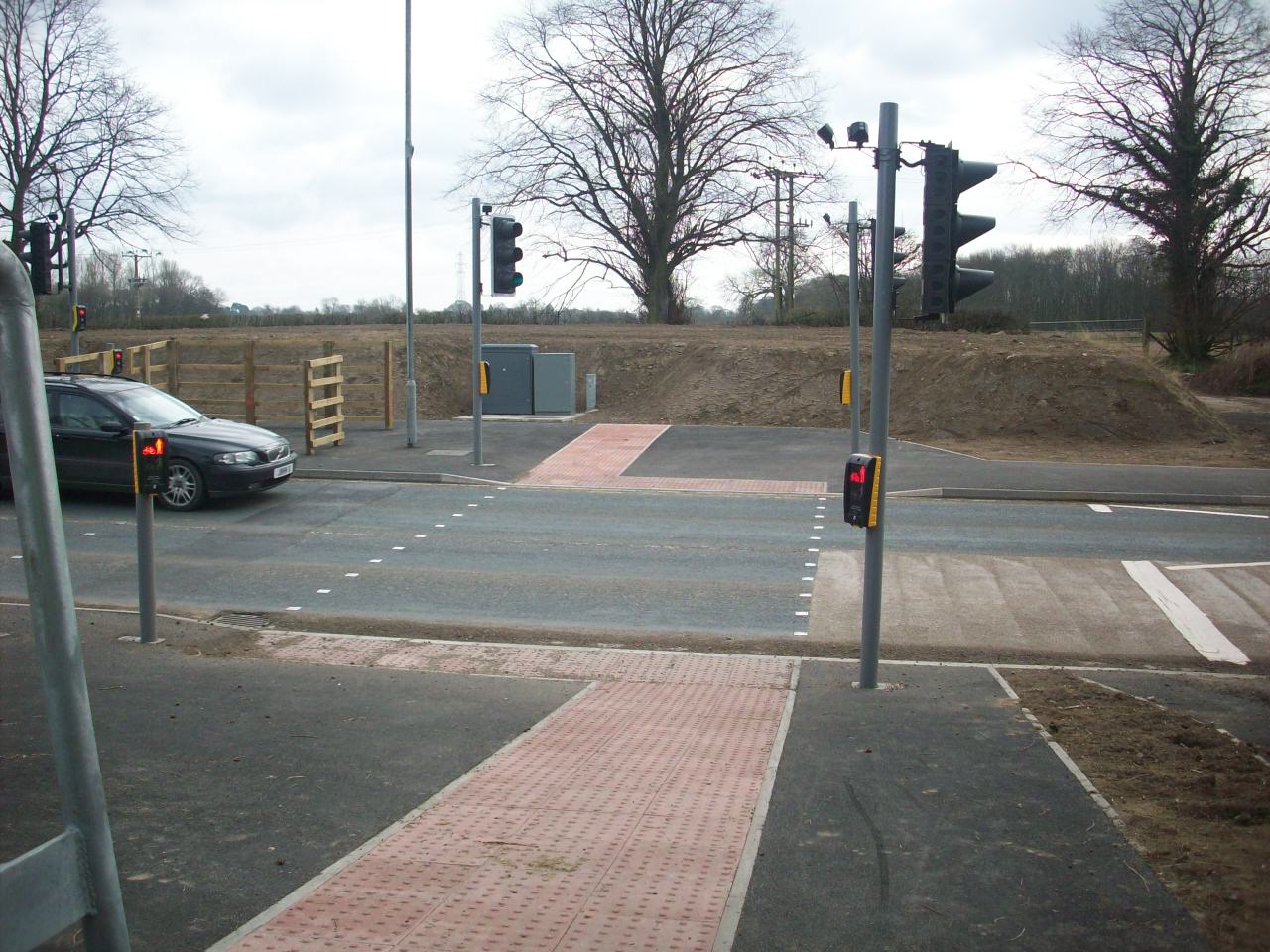
The new A61 pelicon crossing at Killinghall making this road much safer to cross. Young Children must still be supervised by adult or parents.

The new approach route into Ripley from the A61 Trunk Road. This scene is looking North west towards the Village.

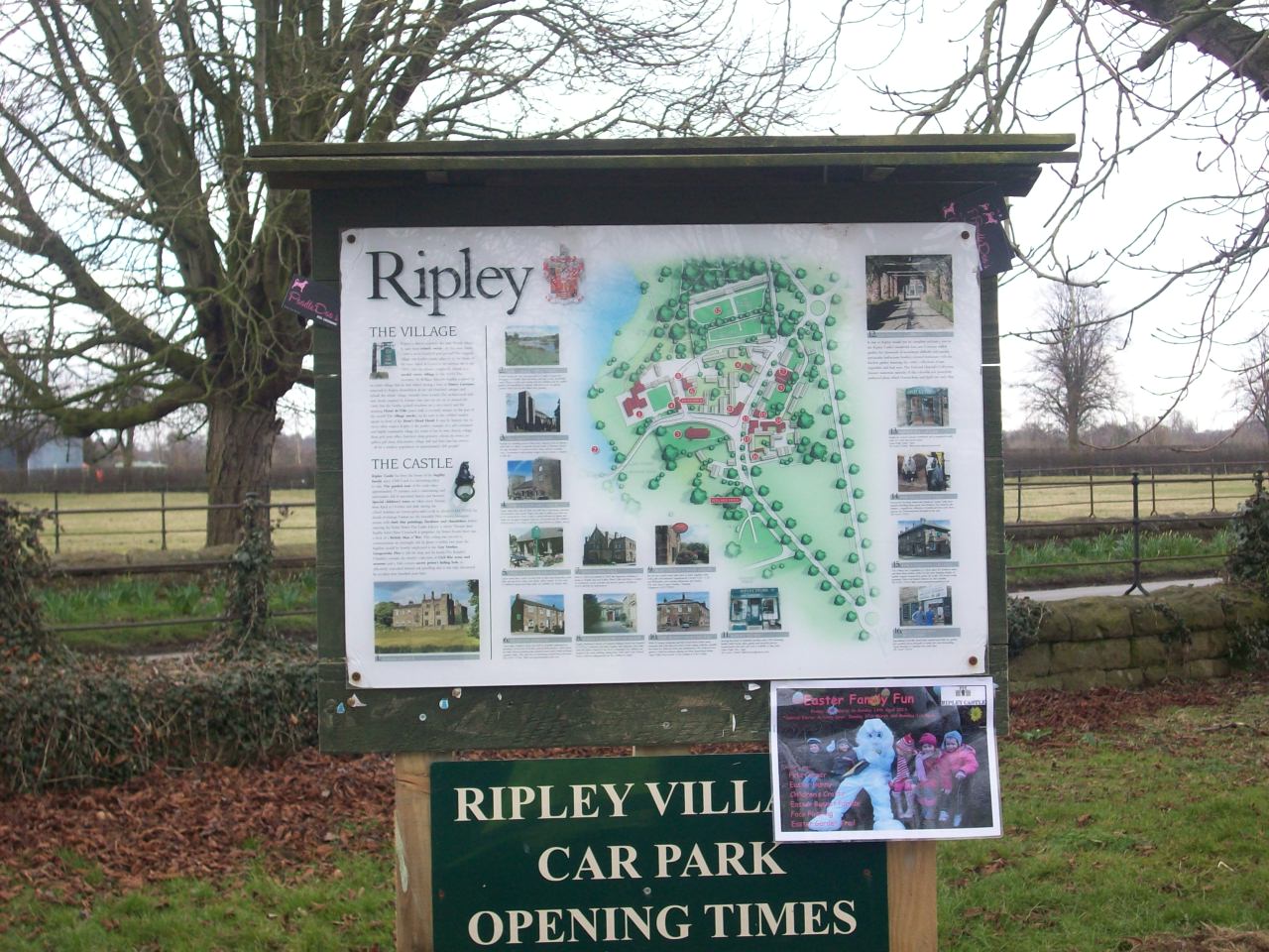
The Tourist Information board at Ripley Village car park.

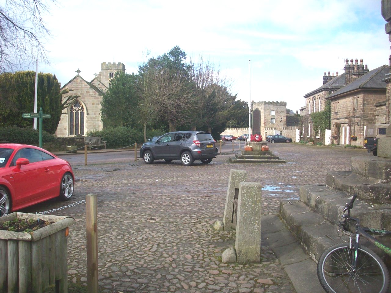
Looking into the impressive model village of Ripley with its beutifull row of cottages.

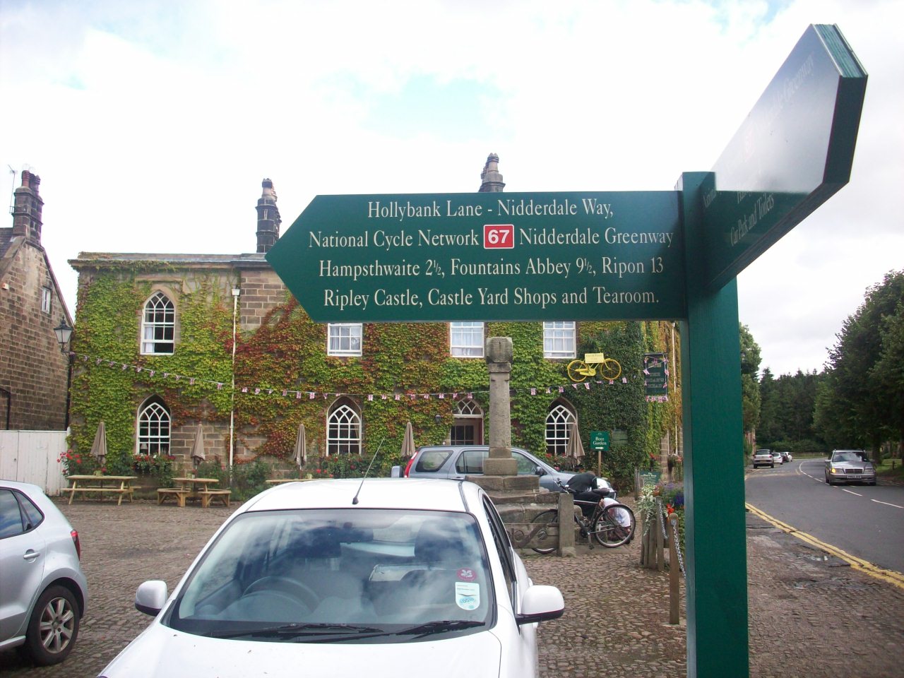
New Cycle Network signpost in Ripley Village. This gives this village a cycle friendly impression and would like to see a bit more of it elsewhere.

Ripley. This is in the village centre with views of the Castle enterance and cobbled square.

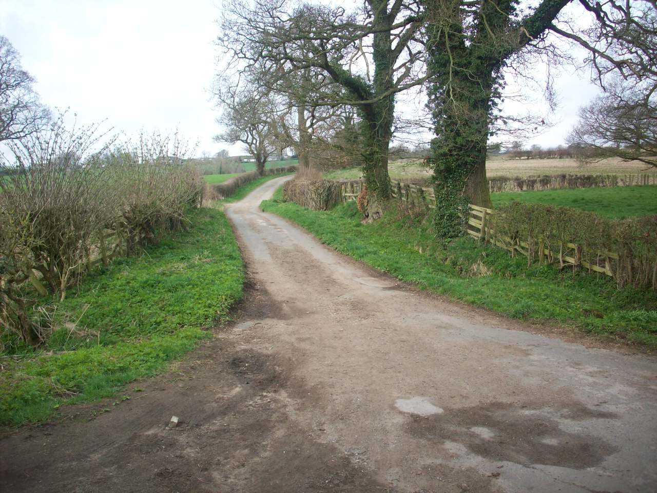
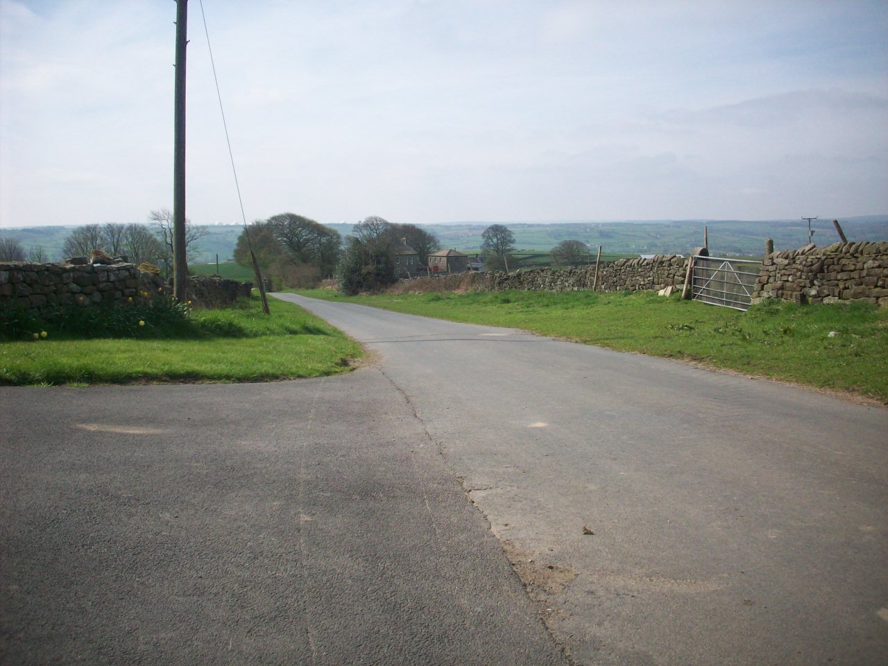
This scene is on the Bridleway between Ripley and Clint Bank and links The Nidderdale Greenway west and Northbound to the onroad Cycle Network.

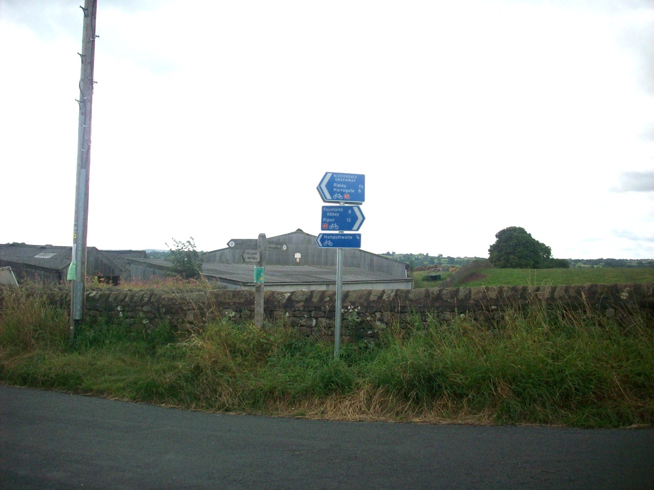
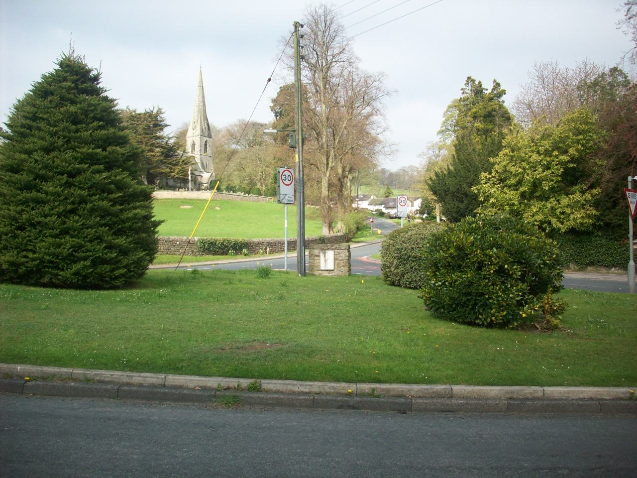
New Sustrans signposting at Clint Bank. This is the junction where Route 67 extends northbound to the right and Hampthwaite village to the left.

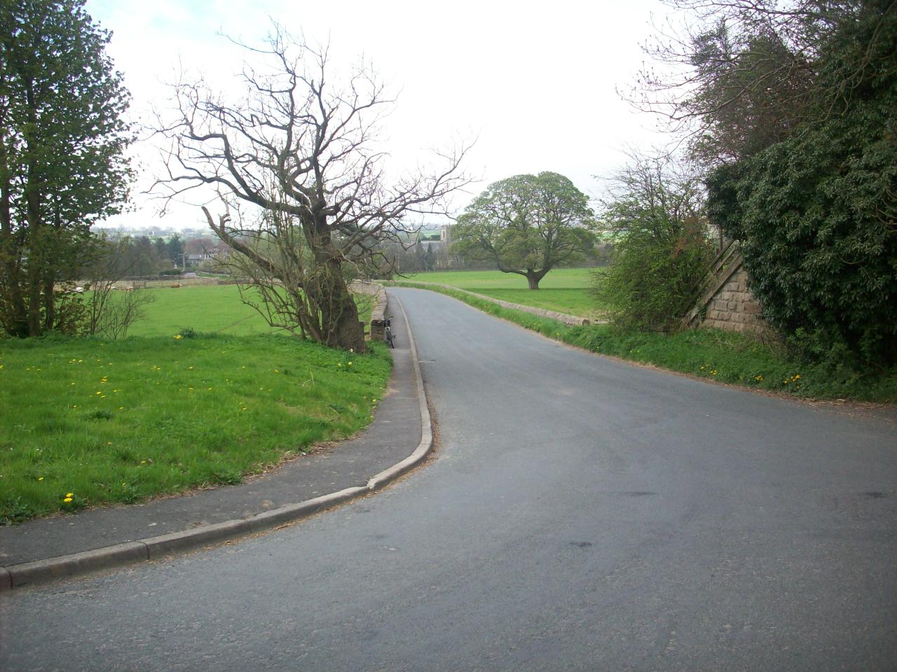
This Scene is the dropdown into Lower Nidderdale from Clint Bank with lovely views into Hampthwaite and Menwith Hill is viewable in the distance.

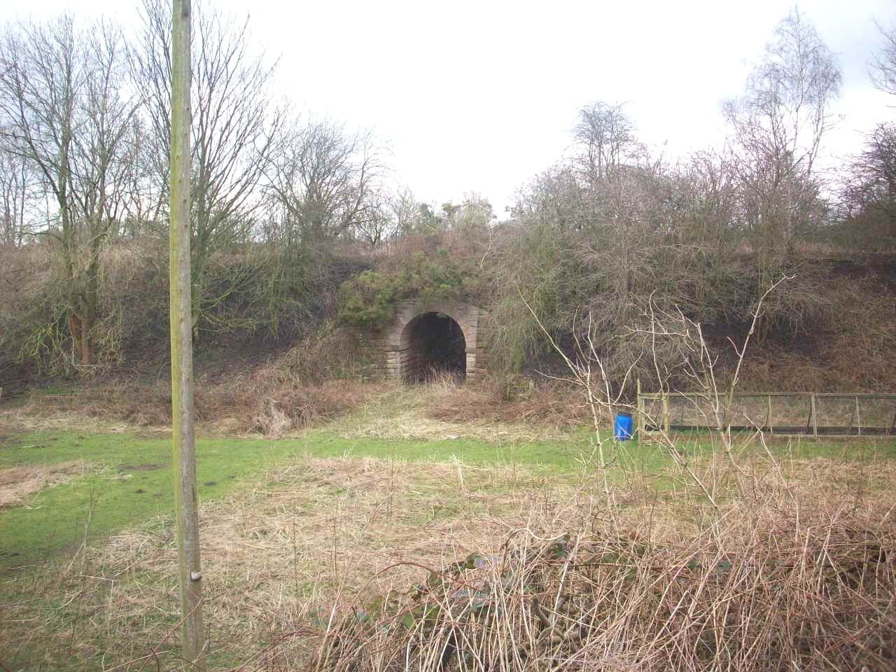
This scene is looking into Hampthwaite on the approach from Clint Bank and the remains of the old Nidderdale railway bridge are still intact.

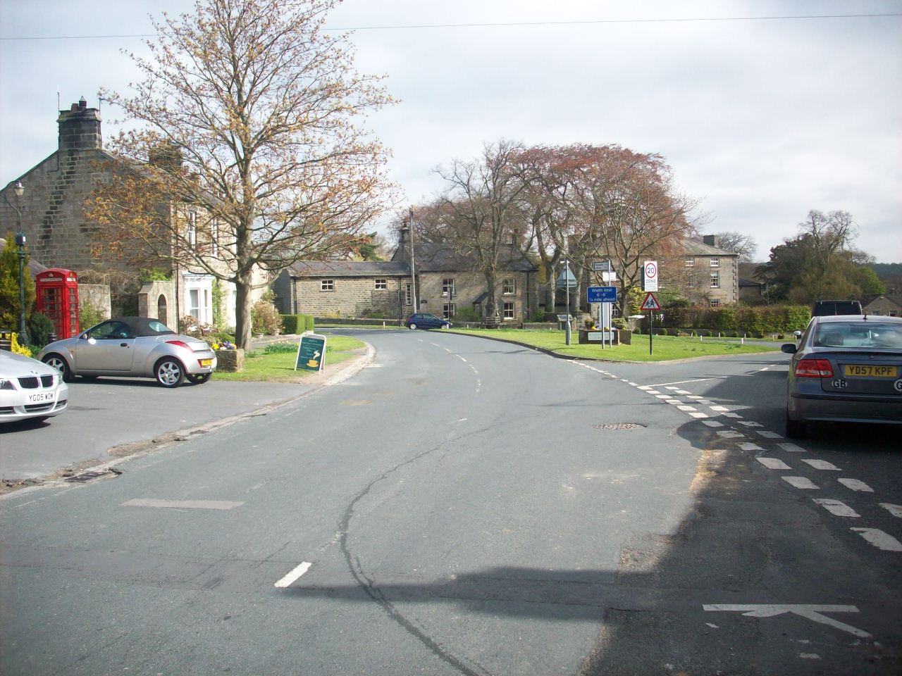
The lovely Nidderdale village of Hampthwaite. This scene is in the village centre with a stunning view of the Village Green.

This Scene is looking into Birstwith, Another of Lower Nidderdale's lovely villages situated on National Cycle Route 636.

Another scene of Birstwith Village, With more of a view of its Village Green and its beutifull Church in the background.

This scene is climbing down Hartwith moor situated about 2 miles SW of Brimham Rocks with grand views over Nidderdale and Menwith Hill MOD Station.

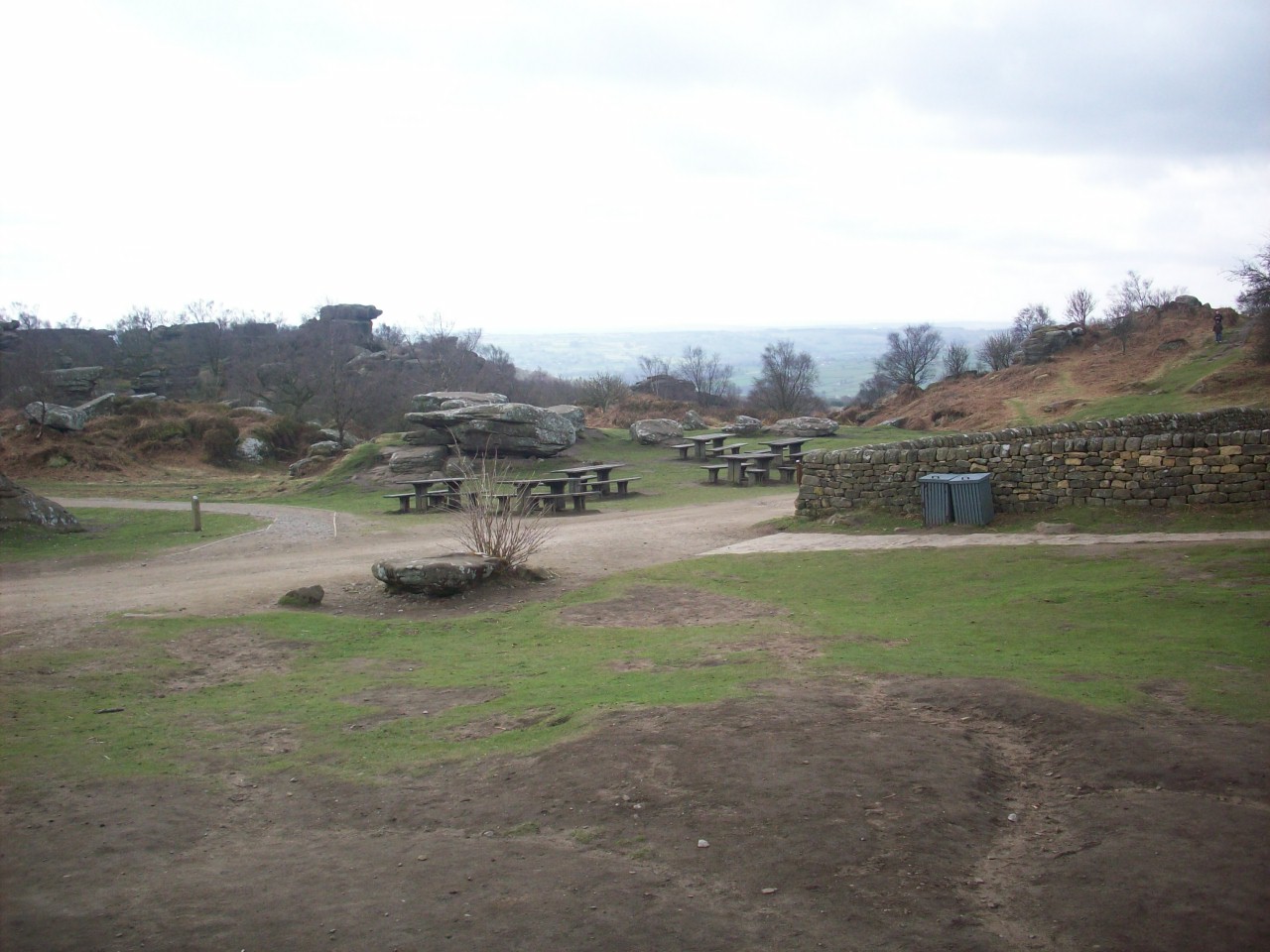
Brimham Rock's. One of Nidderdales most family visited Tourist attractions and the views from here are very rewarding on a clear day.

The Sustrans Logo At Bilton Nidd Viaduct marking the official opening of The Nidderdale Greenway which was 25th May 2013.

Please left click on selected picture to enlarge image.


Links To My Other Related Cycle Touring Pages Relating To The Yorkshire Dales

Home Page

Pictures From My Cycle Tour Of The Eastern Dales Featuring Highlights Of The Beryl Burton Cycle Route

Pictures From Cycle Tour Of The Western Dales

Pictures From My Cycle Tour Of Swaledale And The North Pennines

Links To My UK Cycle Touring Pages From Phil's Online Photo Site

Photographs From My Cycle Tours During The 1980s

Pictures From My Cycle Tours Of The North York Moors And East Coast

Pictures From My Cycle Tour Of East Yorkshire Featuring The Trans Pennine Trail

Pictures From My Cycle Tour Of Lancashire Featuring Morecambe Bay And The Forest Of Bowland

Pictures From My Cycle Tour Of North Wales Via The Trans Pennine Trail

Pictures From My Cycle Tour Of Scotland

Pictures From My Cycle Tour Of Cumbria Featuring The North Pennines And Lake District

Pictures From My Cycle Tours Of South East England

Links To My Video Footage Of The Nidderdale Greenway And Cycling Within Nidderdale

My 2016 Bilton To Knaresborough Cycle Ride Shot With My Hero 4 Go Pro Camera - YouTube

My Bilton To Pateley Bridge Cycle Trail In Super HD Quality - YouTube

My Spring Sunday Evening Cycle Ride Through Nidderdale Starting At Darley And Finishing in Bilton - YouTube


Site Navigation Map Of All My Web Links

mailto:philip@philsnidderdalesite.co.uk